- Previous
- /
- Nepal 2014
- /
- Next
Kanchenjunga North - Kambachen
Kambachen (4145 m) is the next stop above Ghunsa towards Kanchenjunga's North base camp. It offers some of the best views of one of the world's most beautiful and difficult to climb mountains - Jannu (7710 m)
-

Heading north from Ghunsa towards Kambachen
-
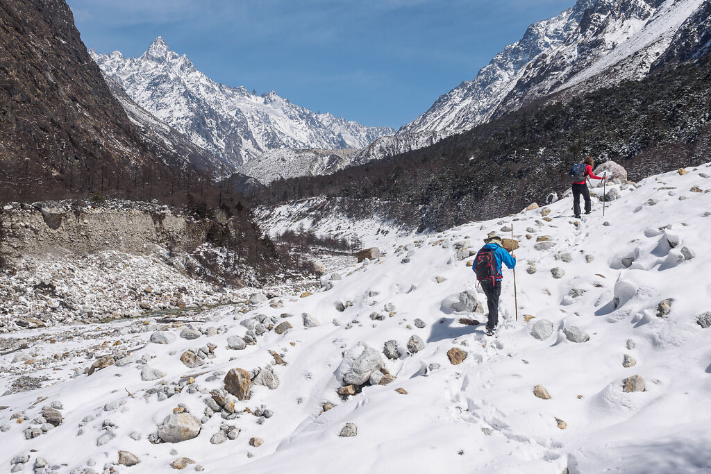
Heading north from Ghunsa towards Kambachen
-
On the trail to Kambachen
-
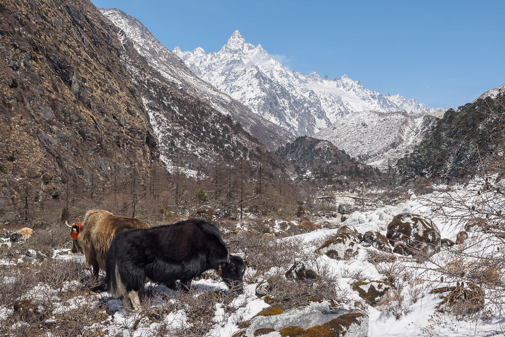
Mt. Ghabur (6305 m) from the trail to Kambachen
-
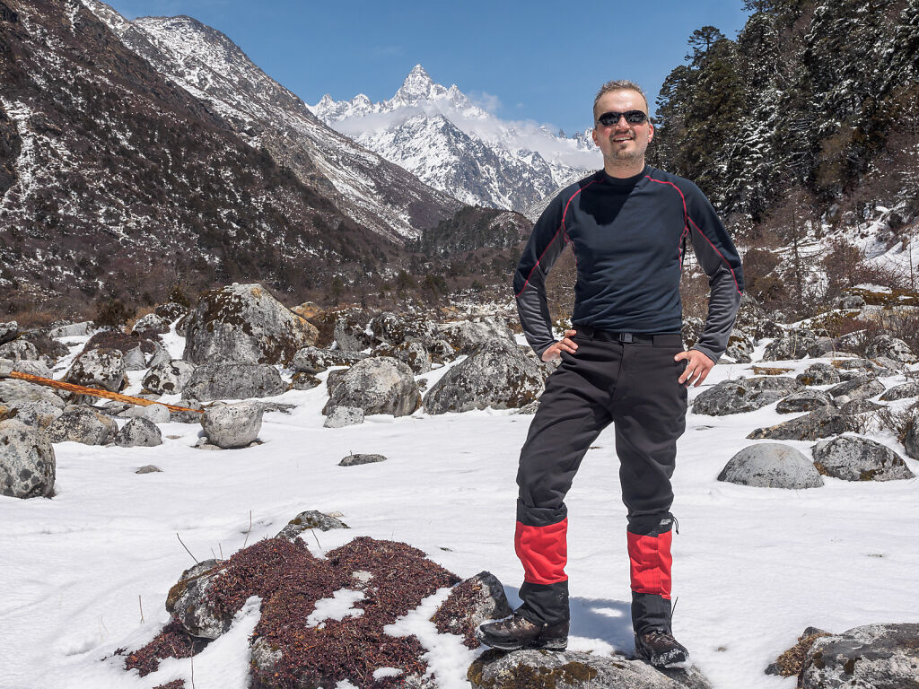
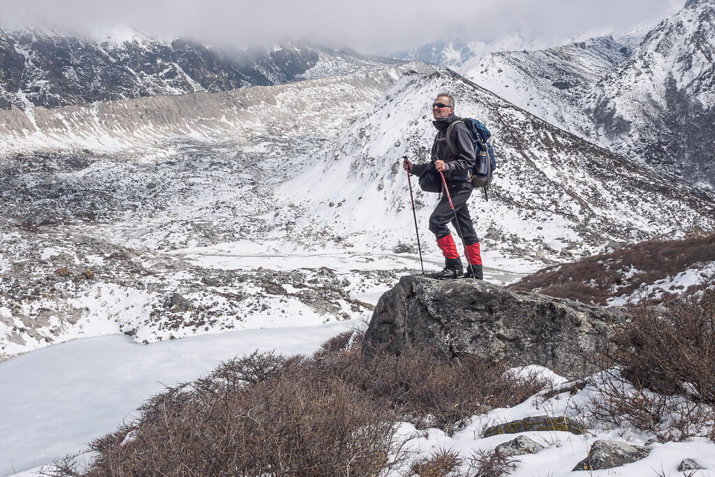
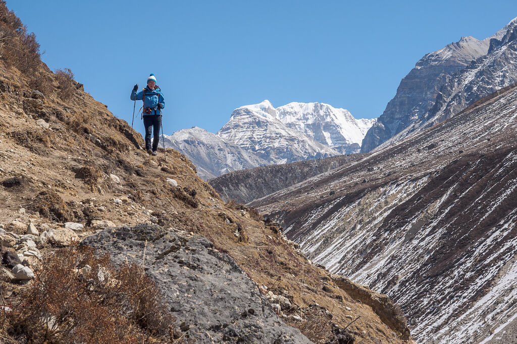
Posing on the trail. There is a bridge nearby where the trail splits. To the left is the standard one (on the most maps) but that is no longer safe due to landslides. The safer and slightly longer route goes up to the right.
-
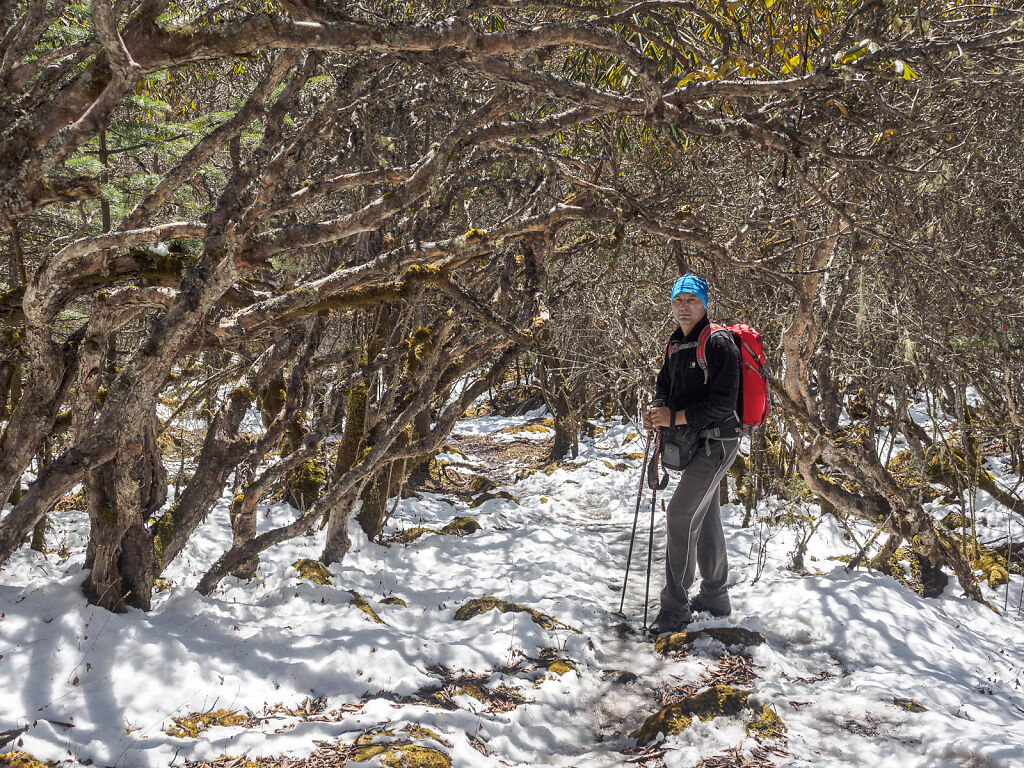
In the rhododendon forest
-
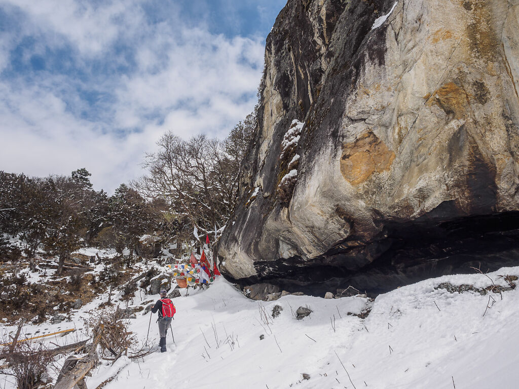
Passing by a Buddhist hermit meditation cave
-
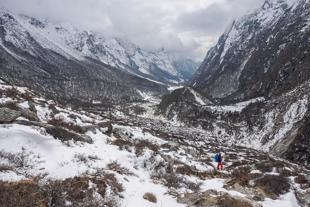
Looking back south down Ghunsa valley
-
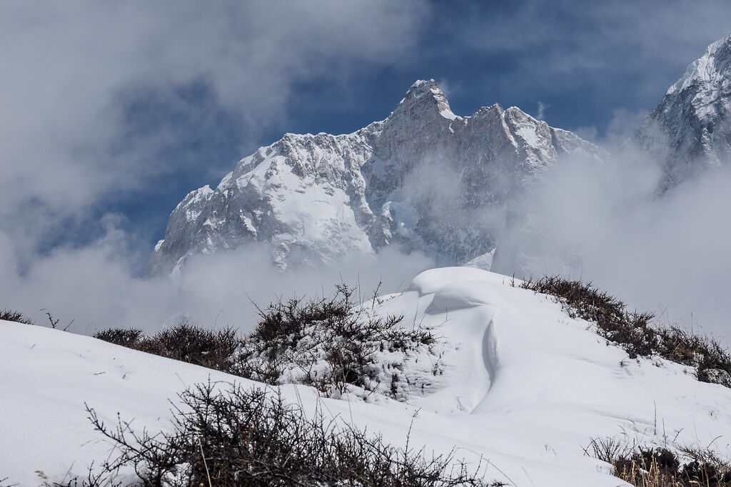
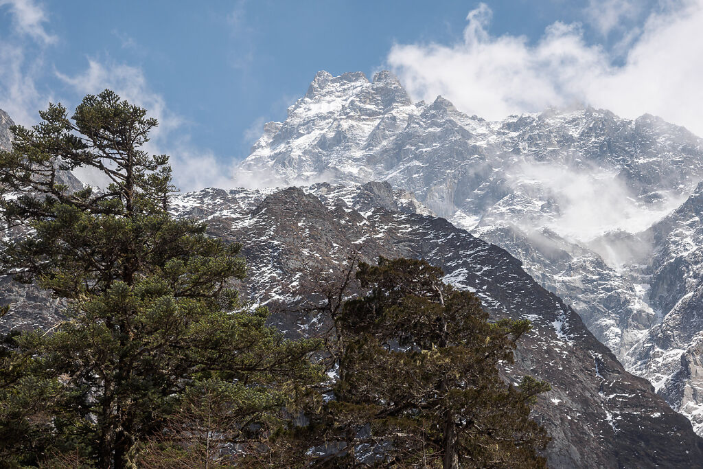
Mt. Jannu (7710 m) shows up for the first time
-

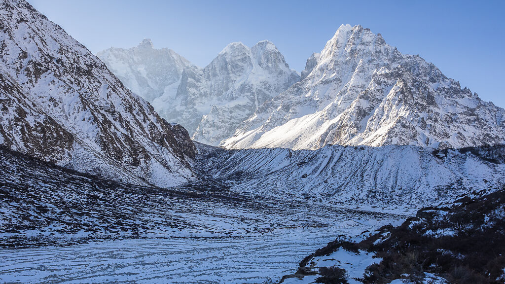
On top of the terminal moraine of Jannu Glacier. Mt. Jannu (7710 m) and Pholesobi Thongje (6652 m) are in the back.
-

On top of the terminal moraine of Jannu Glacier. Mt. Jannu (7710 m) and Pholesobi Thongje (6652 m) are in the back.
-
On top of the terminal moraine of Jannu Glacier
-

Kambachen (4145 m) in the fog
-
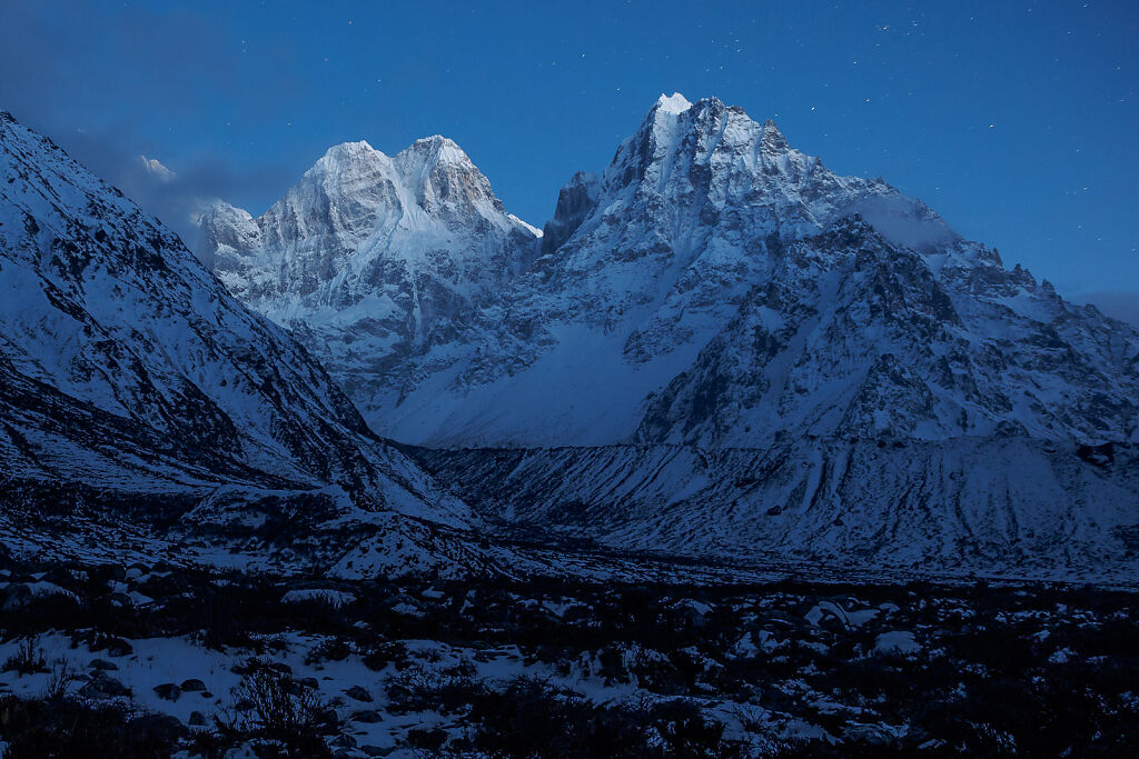
Night look at Mt. Pholesobi Thongje (6652 m) and Ghabur (6305 m) from Kambachen
-
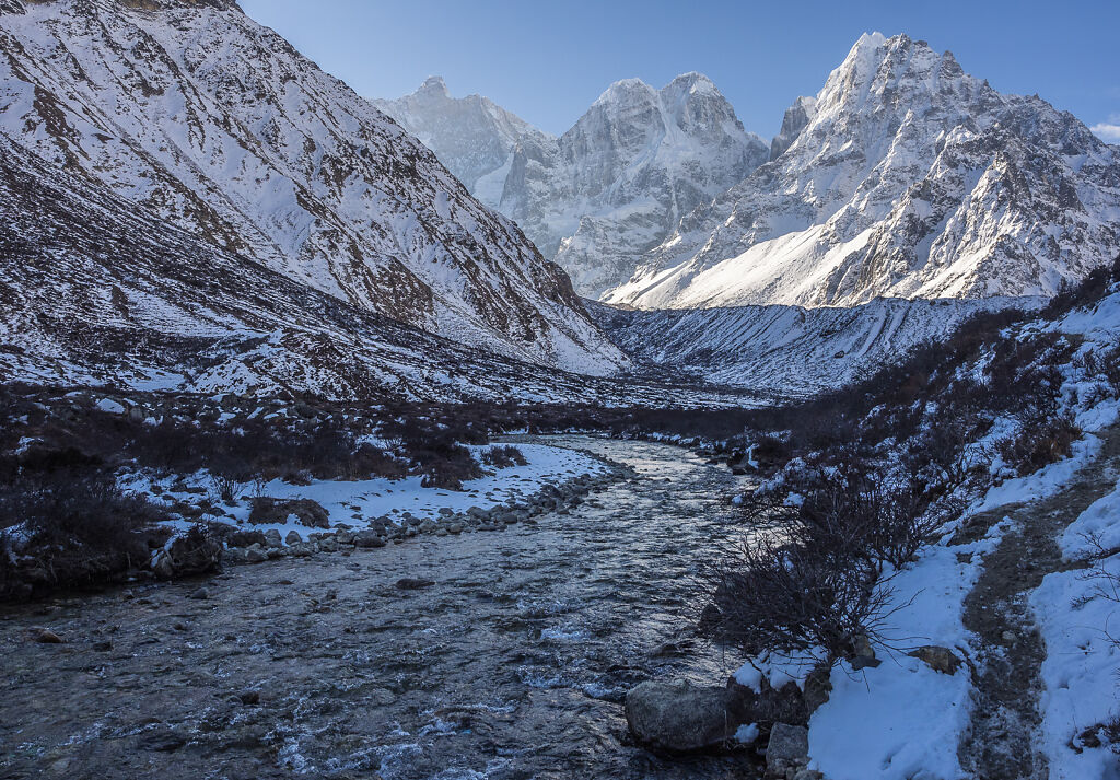
Morning look at Mt. Jannu (7710 m), Pholesobi Thongje (6652 m) and Ghabur (6305 m) from Kambachen
-
Morning look at Mt. Jannu (7710 m), Pholesobi Thongje (6652 m) and Ghabur (6305 m) from Kambachen
-
Morning look at Mt. Jannu (7710 m), Pholesobi Thongje (6652 m) and Ghabur (6305 m) from Kambachen
-
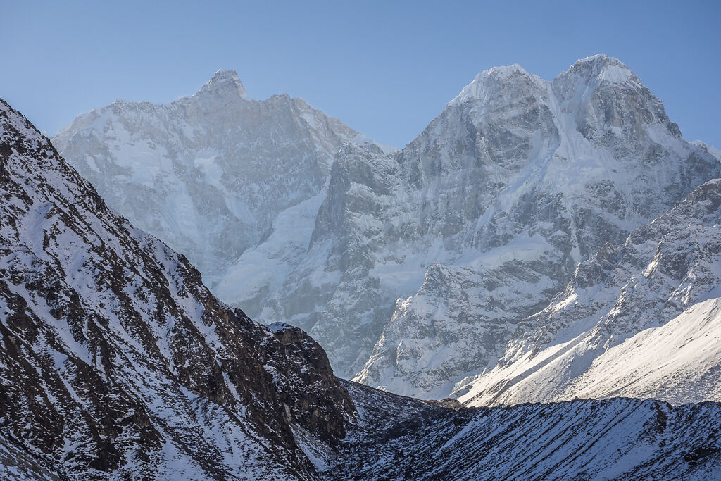
Morning look at Mt. Jannu (7710 m), Pholesobi Thongje (6652 m) and Ghabur (6305 m) from Kambachen
-
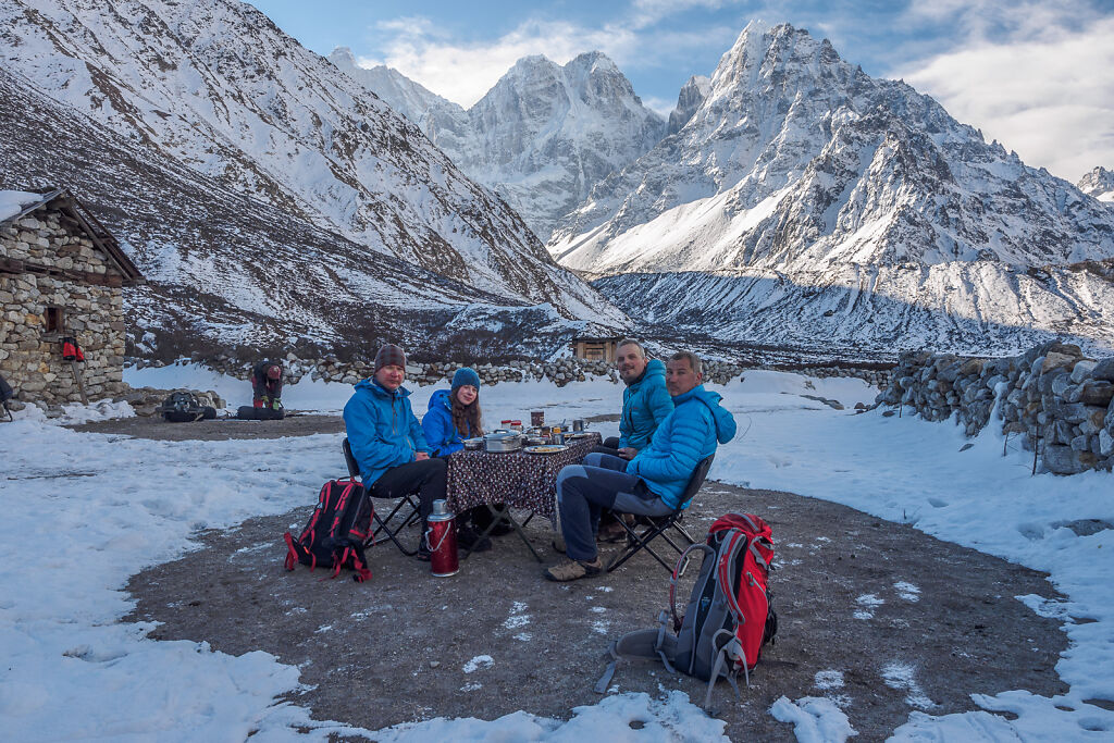
Breakfast at Kambachen (4145 m)
-

Kambachen (4145 m)
-
Kambachen (4145 m)
-
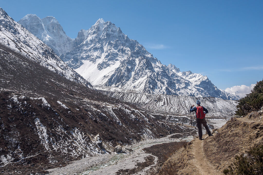
The trail above Kambachen. Heading up towards Lhonak.
-

The trail above Kambachen. Heading up towards Lhonak.
-
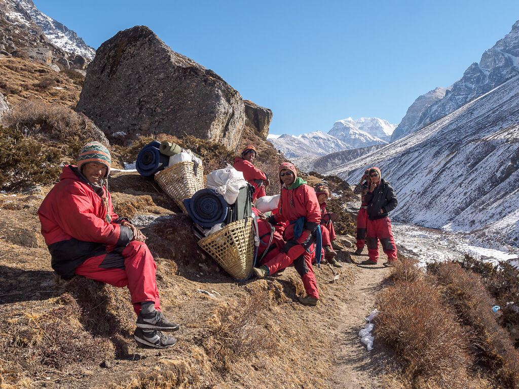
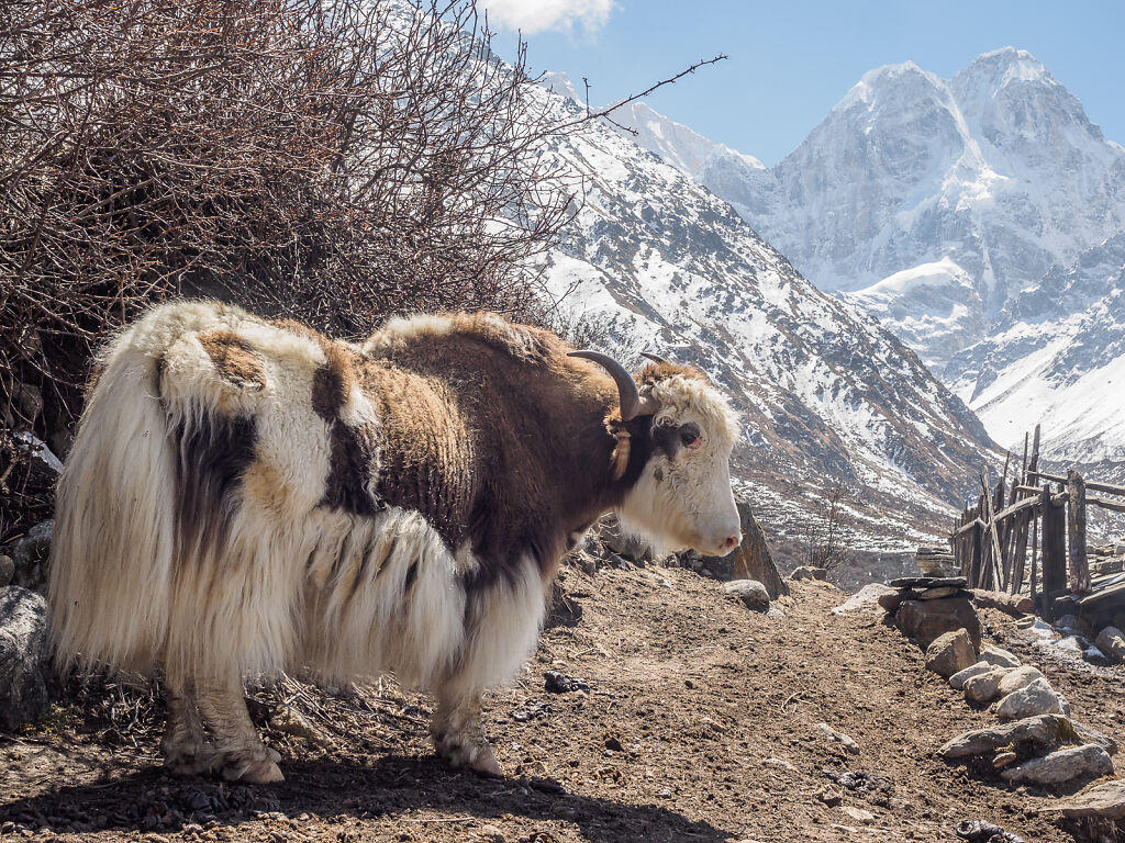
Our porters taking a rest above Kambachen
-
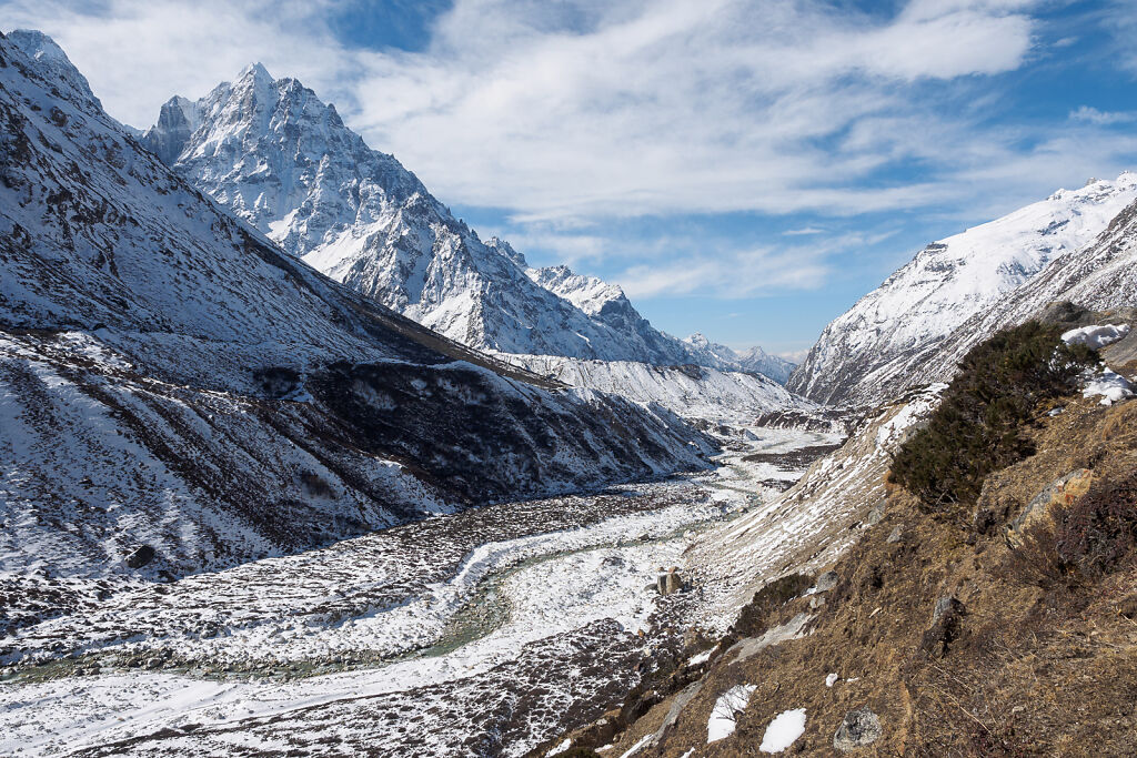
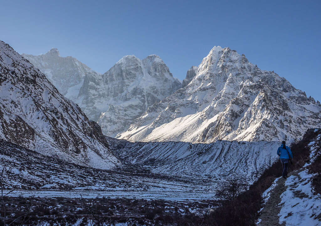
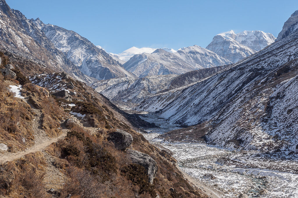
The valley above Kambachen
-
The valley above Kambachen
-

Mt. Ghabur (6305 m)
-
The trail above Kambachen. Heading up towards Lhonak.
-

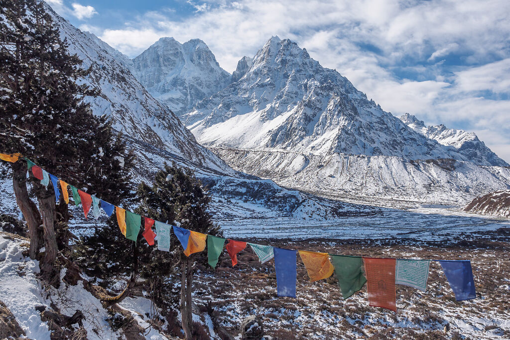
Kambachen (4145 m) and Tanga (Sarphu) mountains to the west
-
Kambachen (4145 m)
-
Kambachen (4145 m)
-
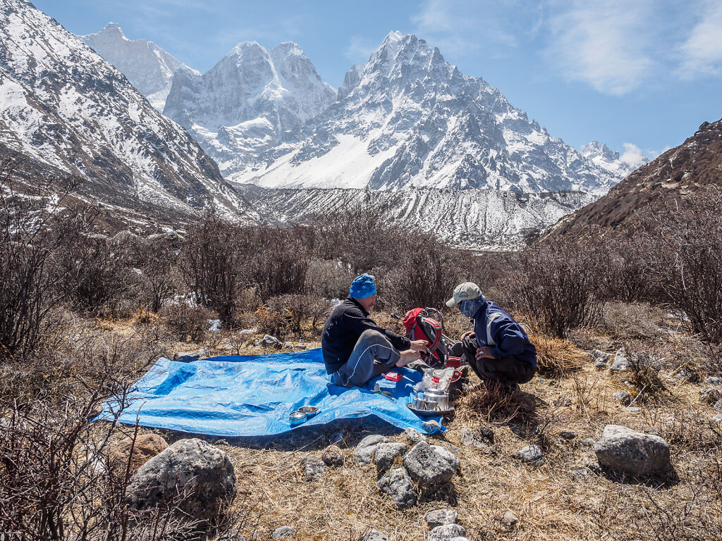
Lunch break at Kambachen (4145 m)
-
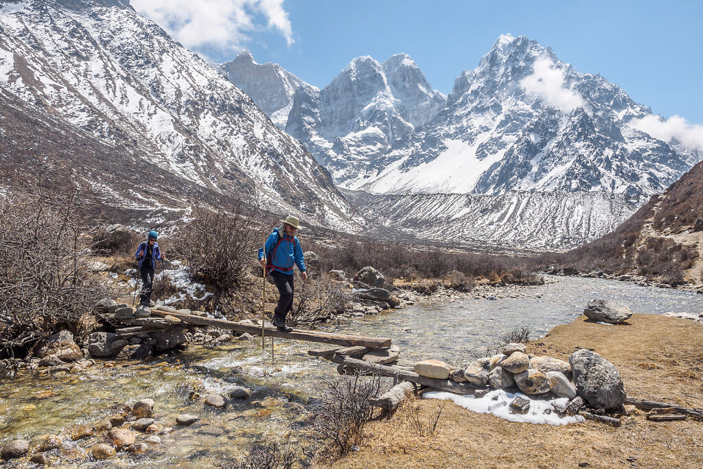
Crossing Nupchu Khola (river) at Kambachen. Mt. Jannu (7710 m), Pholesobi Thongje (6652 m) and Ghabur (6305 m) are in the back.
-
Crossing Nupchu Khola (river) at Kambachen. Mt. Jannu (7710 m), Pholesobi Thongje (6652 m) and Ghabur (6305 m) are in the back.
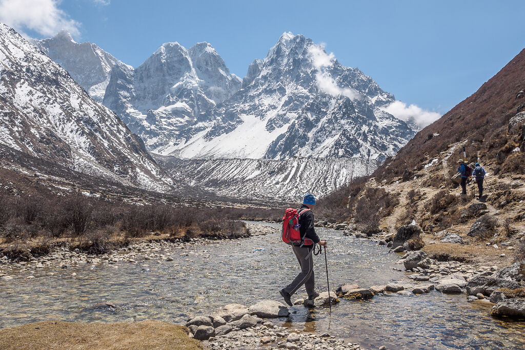
-
Crossing Nupchu Khola (river) at Kambachen. Mt. Jannu (7710 m), Pholesobi Thongje (6652 m) and Ghabur (6305 m) are in the back.
-
Crossing Nupchu Khola (river) at Kambachen. Mt. Jannu (7710 m), Pholesobi Thongje (6652 m) and Ghabur (6305 m) are in the back.
-

Mt. Jannu (7710 m), Pholesobi Thongje (6652 m) and Ghabur (6305 m) seen from below Kambachen
-

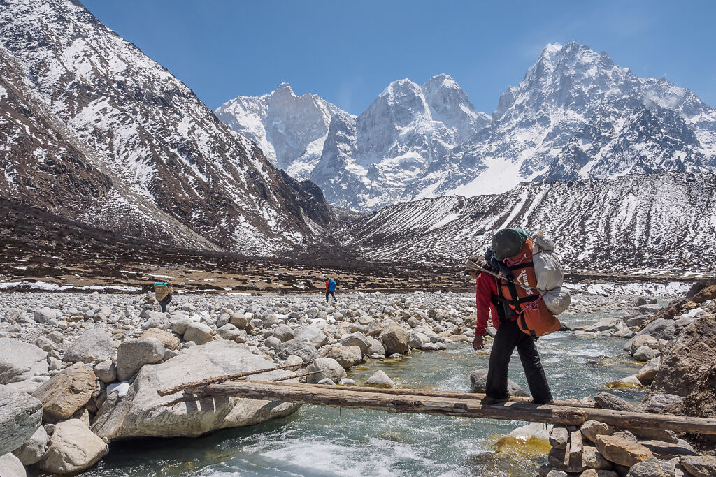
Ghunsa Khola (river) north of Kambachen
-

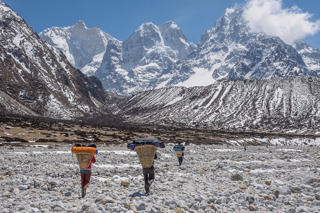
Porters with Mt. Jannu behind
-
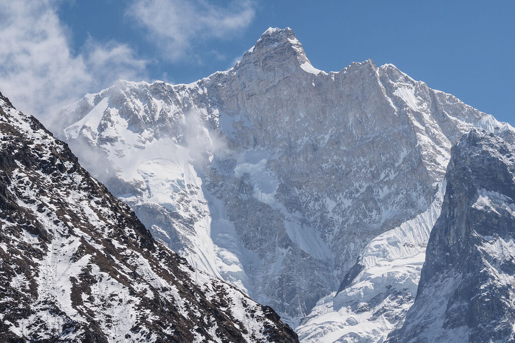
The North Face of Jannu (7710 m)
-
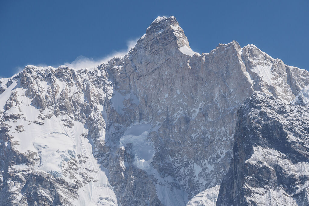
A close up of the North Face of Jannu (7710 m)
-
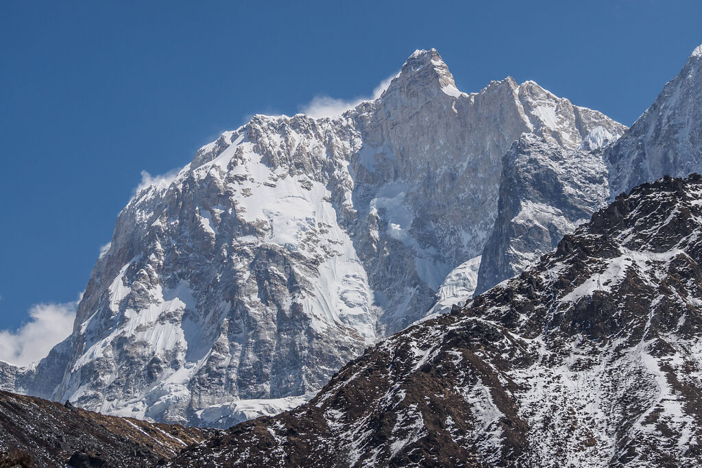
The North Face of Jannu (7710 m)